
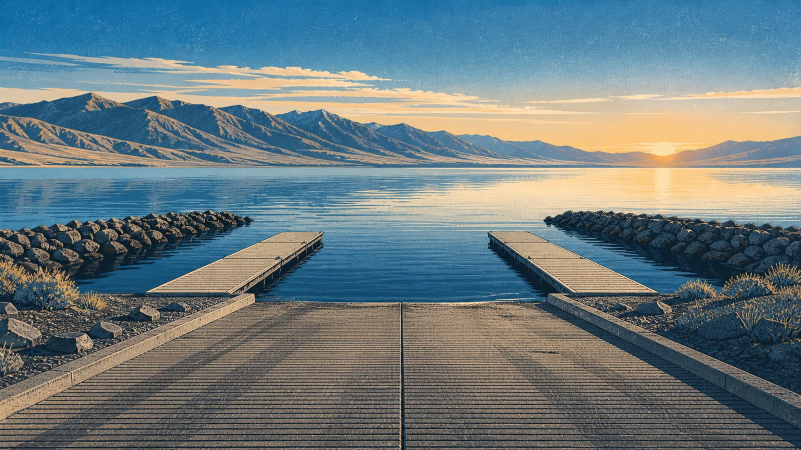
Utah Lake Boat Ramps
Pick the launch that matches your target water, tow rig, and weather window.
What matters most on Utah Lake
Ramp planning on Utah Lake is less about finding any concrete launch and more about managing wind, shallow water, and backup options. Utah State Parks says the lake averages about nine feet deep when full, so small water-level changes matter more here than they do at many reservoirs.
When checked on June 24, 2026, Utah Lake State Park's current-conditions page was still showing a June 11 lake snapshot: 62°F water, the lake 78.59% full, and clear algae status. The same park page listed the Northwest, North Center, Northeast, South Ramp (Marina), and Provo River ramps open weather permitting, with the south ramp noted as the shallowest. Treat that as a planning snapshot, then verify again before towing.
Utah Lake State Park Ramp
East Shore - Provo
Utah Lake State Park listed Northwest, North Center, Northeast, South Ramp (Marina), and Provo River ramps open, with the south ramp noted as the shallowest.
Provo Boat Harbor Ramp
East Shore - Provo
Good fallback when you want shorter runs to central-lake water or harbor structure.
Lindon Marina Ramp
North Shore - Lindon
A strong choice when you want to avoid a long idle from Provo and launch closer to north-shore water.
American Fork Harbor Ramp
North Shore - American Fork
Useful when you want north-shore access without depending on state park traffic.
Lincoln Beach Ramp
West Shore
Water depth and shoreline mud can change quickly on a shallow lake.
Goshen Bay Ramp
South Shore
Bring recovery gear, extra water, and a backup plan if wind or mud turns the launch around.
Ramp decision chart
| Question before you tow | Best answer | Why it matters on Utah Lake |
|---|---|---|
| Is this your first Utah Lake launch? | Start with Utah Lake State Park unless your target water clearly favors another side. | Multiple listed-open ramps and the most developed fallback options reduce first-trip risk. |
| Is your boat deeper draft or heavily loaded? | Avoid building the day around the shallowest ramp and call ahead if water level is marginal. | A broad shallow lake can make one open ramp much less useful than another. |
| Is wind expected to build by midday? | Launch close to your target water and plan to be back before chop controls the day. | Boat control can become the limiting factor before the fishing pattern changes. |
| Are algae or water-contact concerns active? | Use developed access, keep wash water separate, and check DEQ before launching. | Ramp slime, pets, kids, and fish-cleaning plans all raise contact risk. |
Best ramp by trip style
| Trip style | Best first choice | Why |
|---|---|---|
| First boat trip on Utah Lake | Utah Lake State Park | Most maintained options and easiest fallback if one lane or parking area is busy. |
| Short evening launch from Provo | Provo Boat Harbor | Fast setup and protected harbor water. |
| North-basin run | Lindon Marina | Saves time when your target water is on the north end. |
| Family meetup with a boat and bank option | American Fork Harbor | Developed north-shore access with simpler logistics. |
| West-side plan with local knowledge | Lincoln Beach | Useful, but only when water level and mud are manageable. |
Launch checklist
- Check current wind before picking a shore.
- Verify ramp status on the official Utah Lake State Park and Utah State Parks ramp pages.
- Check water levels if using west-side or south-end launches.
- Bring a second launch option in the same region.
- Clean, drain, and dry the boat after the trip.
Two-hour launch plans
| Trip | Launch choice | Fish plan | Abort signal |
|---|---|---|---|
| Early family boat ride plus fishing | Utah Lake State Park | Stay close, fish protected edges, and keep the pier as a non-boat fallback. | Kids need water contact to stay comfortable or wind starts pinning the boat. |
| North-basin evening scout | Lindon Marina or American Fork Harbor after local verification | Short run, one main target, and enough daylight to recover if the launch is busier than expected. | Parking or service assumptions do not match what you find. |
| West-side catfish or walleye route | Lincoln Beach only with a same-side backup | Check mud and wind before unloading, then keep the route short. | Soft shoreline, uncertain depth, or a return run into building wind. |
Source notes
Official sources checked June 24, 2026: Utah Lake State Park current conditions, Utah State Parks boat ramp conditions, Utah Lake Authority water levels, Utah Lake Authority access points, and Utah DEQ recreational water quality guidance.
Need a shore-first fallback?
Use the access-points guide to keep a backup plan when launch conditions change.